Istanbul · European side
Avcılar storage
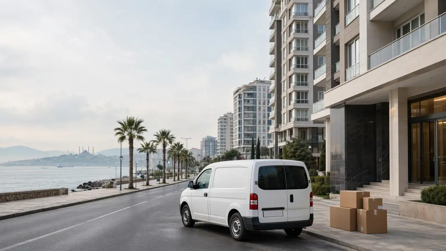
From Avcılar, storage means a trip from an apartment, or from a tall-block area such as Yeşilkent or Tahtakale, to a locked room across the Bosphorus. Narrow or one-way streets make up 0 to 62 percent of local streets depending on the neighbourhood, so we settle where the truck can stop at the free survey.
- Distance to the depot
- 54–65 km
- Drive time
- 45–51 min
- Side
- European side
- Neighbourhoods
- 10
Distance and time: car-profile OSRM / OpenStreetMap estimate, September 2026; free-flow approximations.
At a glance
- Neighbourhood with the highest share of narrow or one-way streets: Merkez (62 %).
- Neighbourhood with the highest share of steep streets: Yeşilkent (50 %).
- Smallest room: 1+0, 8 m³, ₺4,000 / month; the first month of room rent is on us.
Why Avcılar needs storage: coastal apartments, tall blocks
The district authority gives the area as about 4,185 hectares in 10 neighbourhoods; the municipality lists 440,934 people for 2024. Level data is mapped for most buildings in Gümüşpala (72 percent) and Denizköşkler (67 percent), both averaging 4.8 storeys. Yeşilkent shows 26.5 storeys, but its level-data share rounds to 0 percent, so that figure rests on very few buildings. We hold no flat-size figures for the district.
İBB's plan-note change on risky buildings covers the five neighbourhoods between the TEM and the D-100 — Firuzköy, Gümüşpala, Mustafa Kemal Paşa, Üniversite and Yeşilkent — alongside the usual reasons for taking a room: renovation, a gap between two homes, a period abroad, downsizing or office surplus. The municipality's transformation page gives no neighbourhood list, and building activity on the coast is described only by residents. Its history page places two universities in the district; student demand is possible, but we found no data.
From between the E-5 and the TEM to our depot: 54–65 km and a bridge
From Gümüşpala by the D-100 it is 54.2 km and 47 minutes without traffic, from Yeşilkent in the north 59.9 km and 45 minutes, and from the Avcılar centre 64.8 km and 51 minutes: our September 2026 OSRM / OpenStreetMap car estimate puts the district roughly 54–65 km and 45–51 minutes from our depot in Abdurrahmangazi Mahallesi, across the Bosphorus on the Anatolian side. A loaded truck's route can differ; KGM lists vehicle-class restrictions on the 15 Temmuz Şehitler and FSM bridges, so we agree the vehicle and road at the survey.
In Merkez 62 percent of local streets are narrow or one-way, in Üniversite 35 percent, in Mustafa Kemal Paşa 29 percent; in Yeşilkent, Firuzköy and Tahtakale 0–3 percent. The steep share is highest in Yeşilkent (50 percent), then Ambarlı (45 percent). The municipality's list of works run with İBB includes the Gümüşpala junction and the Tahtakale TEM overpass, without dates. We found no published rule for moving trucks or mobile lifts; the Zabıta regulation is only a PDF.
From Merkez to Yeşilkent: street and building data for six neighbourhoods
Six of Avcılar's ten neighbourhoods whose data differs most. Shares come from OpenStreetMap; grades come from a surface model that includes buildings, so use them only to compare neighbourhoods.
Merkez Mahallesi
0.856 km² with 10.6 km of local streets and 793 buildings; 62 percent of the streets are narrow or one-way, the district's highest share. Five parking areas are mapped; level data covers 3 percent of buildings (average 6.9 storeys).
Üniversite Mahallesi
35 percent of streets are narrow or one-way. Average grade is 3.8 percent and the steep share 17 percent, the flattest neighbourhood in the district. 781 buildings and 15 parking areas.
Ambarlı Mahallesi
1.921 km² with 22.9 km of local streets and 1,341 buildings. Narrow or one-way share is 14 percent; steep share 45 percent, grade 6.4 percent. Residents write of two-storey old houses and narrow streets in the village core.
Gümüşpala Mahallesi
1.148 km² with 1,875 buildings; 72 percent have level data, averaging 4.8 storeys. Only four parking areas are recorded; 38 percent of local streets are steep. Depot: 54.2 km, 47 minutes without traffic. We ask at the survey whether four- or five-storey buildings have a lift.
Yeşilkent Mahallesi
5.074 km² with 89.2 km of local streets and 5,216 buildings. No narrow or one-way streets, but the steep share of 50 percent and grade of 6.6 percent are the district's highest. İBB writes that the plan for a 42.2-hectare reserve building area north of the neighbourhood was approved on 26.05.2025 and the area is still empty. Depot: 59.9 km, 45 minutes without traffic.
Tahtakale Mahallesi
11.402 km² with 41.2 km of local streets beside 40.3 km of through roads; 29 mapped parking areas, the district's highest. Narrow or one-way share is 3 percent. Level data covers 6 percent of buildings, averaging 13.4 storeys.
Street and parking data by neighbourhood
| Neighbourhood | Narrow / one-way streets (%) | Steep streets (%) | Mapped parking | Average floors |
|---|---|---|---|---|
| Ambarlı | 14 | 45 | 19 | — |
| Cihangir | 12 | 32 | 17 | — |
| Denizköşkler | 13 | 34 | 15 | 4.8 |
| Firuzköy | 0 | 37 | 0 | — |
| Gümüşpala | 7 | 38 | 4 | 4.8 |
| Merkez | 62 | 30 | 5 | — |
| Mustafa Kemal Paşa | 29 | 26 | 1 | — |
| Tahtakale | 3 | 31 | 29 | 13.4 |
| Üniversite | 35 | 17 | 15 | — |
| Yeşilkent | 0 | 50 | 6 | — |
Source: OpenStreetMap contributors (ODbL), Copernicus DEM; September 2026. Floors show “—” where few buildings carry floor data; gradients are indicative.
Preparing for Merkez's one-way streets and Yeşilkent's blocks
1.Plan the truck's stopping spot in Merkez
Merkez has only five mapped parking areas across 0.856 km². If the truck cannot reach the door, boxes are carried by hand; give the street name and door number and we choose the stopping point at the survey.
2.Which room holds how much
Our rooms are 8 m³ (1+0), 15 m³ (1+1), 22 m³ (2+1) and 28 m³ (3+1). If a renovation empties a room or two, the 8 or 15 m³ room usually does.
3.Lifts and site rules in tall blocks
In areas such as Yeşilkent and Tahtakale, ask site management about a freight lift or a move-out time rule. Taking apart a wardrobe carcass that will not fit the lift shortens loading.
4.Small boxes on sloping streets
In Yeşilkent 50 percent of local streets are steep, in Ambarlı 45 percent. If the truck waits at the foot of a slope, medium boxes labelled by room help; pack heavy books separately.
5.During transformation, set aside what you need first
Belongings from an evacuated building can wait for months. Label the boxes needed first in the new home with a separate colour. You can visit the room any day without an appointment.
Room sizes and monthly prices
| Home size | Room volume | Monthly rent |
|---|---|---|
| Fits a 1+0 home | 8 m³ | ₺4,000 |
| Fits a 1+1 home | 15 m³ | ₺7,000 |
| Fits a 2+1 home | 22 m³ | ₺8,000 |
| Fits a 3+1 home | 28 m³ | ₺9,000 |
See the full price table and what decides the price
Storage by situation
Between homes, renovation, seasonal items or an office: open the page that matches your situation.
Questions about storage in Avcılar
How do you collect from Merkez if the street is one-way?
We offer door-to-door pickup. In Merkez 62 percent of local streets are narrow or one-way; at the survey we see where the truck can stop.
Can you collect from the tall blocks in Yeşilkent?
Yes. Yeşilkent has no narrow or one-way streets, but 50 percent of its local streets are steep. The lift, the site's move-out time rule and the truck's stopping point are settled at the survey.
Can I keep belongings in storage when a home is emptied for urban transformation?
Yes, a room can be rented for the evacuation or renovation period, with no maximum term. The volume decides the room.
Does the municipality collect rubble or old furniture?
The cleaning page says rubble, construction and bulky waste are collected on a schedule, with no day, application channel or fee given. We found no pickup line for old furniture. Sorting out what you will not keep also settles the room size.
Do I need a municipal permit for the moving truck?
We found no published rule. To be sure, you can ask the call centre on 444 69 89.
Free survey in Avcılar
Let us look at your belongings and your street together and settle the right room size during the survey.
Message us on WhatsAppNeighbouring districts
Sources
- Avcılar District Governorate, Geographic Structure (accessed 30.09.2026)
- Avcılar District Governorate, Local Administrations (accessed 30.09.2026)
- Avcılar Municipality, Population Information (accessed 30.09.2026)
- Avcılar Municipality, History of Avcılar (accessed 30.09.2026)
- Avcılar Municipality, Service Buildings (accessed 30.09.2026)
- Avcılar Municipality, Zabıta Directorate (accessed 30.09.2026)
- Avcılar Municipality, Cleaning Services (accessed 30.09.2026)
- Avcılar Municipality, Urban Transformation Directorate (accessed 30.09.2026)
- Avcılar Municipality, Works run with İBB (accessed 30.09.2026)
- İBB Urban Transformation, Avcılar plan-note change on risky buildings (accessed 30.09.2026)
- İBB Urban Transformation, Yeşilkent reserve building area (accessed 30.09.2026)
- KGM, Motorway restrictions (accessed 30.09.2026)
- Street, parking and building data: OpenStreetMap contributors (ODbL); slope: Copernicus DEM GLO-30, 2026-09-30
- Distance and time: OSRM / OpenStreetMap, September 2026 (car profile)