Istanbul · Anatolian side
Üsküdar storage
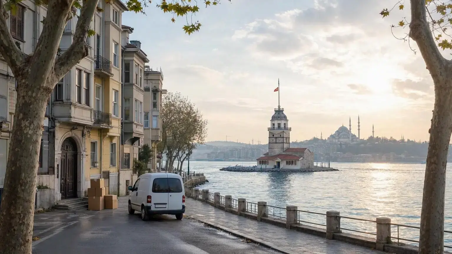
From Üsküdar to our depot in Sancaktepe the drive is about 18–24 km, stays on the Anatolian side and takes 15–20 minutes without traffic. Kandilli's slopes and the metro area around Altunizade have little in common, so we talk about the room and the loading plan neighbourhood by neighbourhood.
- Distance to the depot
- 18–24 km
- Drive time
- 15–20 min
- Side
- Anatolian side
- Neighbourhoods
- 33
Distance and time: car-profile OSRM / OpenStreetMap estimate, September 2026; free-flow approximations.
At a glance
- Neighbourhood with the highest share of narrow or one-way streets: Valide-i Atik (61 %).
- Neighbourhood with the highest share of steep streets: Kandilli (72 %).
- Smallest room: 1+0, 8 m³, ₺4,000 / month; the first month of room rent is on us.
From a small flat on a slope to a renewal move-out: why people store in Üsküdar
The District Governorate lists 33 neighbourhoods in Üsküdar, and the Municipality gives an area of about 35.7 km² and more than 2,500 streets. We found no population figure in the sources we used, so we quote none. Building height changes a lot between neighbourhoods: in Çengelköy the buildings with level data average 1.9 storeys, in Ünalan 16.6. Both rest on only 1 percent of buildings, so they show a direction at most; in thirty neighbourhoods level data covers 17 percent of buildings or fewer.
Urban renewal may also bring some people to storage. İBB's zoning-note amendment for Üsküdar covers risky-building rules for a list of neighbourhoods that includes Ferah, Bulgurlu, Kısıklı, Ünalan, Altunizade and Zeynep Kamil, and an 8.8-hectare renewal and development area has been declared in Kuzguncuk–İcadiye. The Municipality's Urban Renewal Directorate says it coordinates evacuation with other units in risky-building cases. A locked room is one option for keeping belongings until the new flat is handed over.
Same shore, different streets: loading from Üsküdar to the depot
Üsküdar and the depot are both on the Anatolian side, so the vehicle does not cross the Bosphorus. Our car-profile calculation with OSRM / OpenStreetMap in September 2026 gives 18.4 km and 16 minutes without traffic for the Bulgurlu side and 20.7 km and 19 minutes for the district centre; the pier area, at about 24 km, is our farthest measured point. These are free-flow estimates; a loaded vehicle and the day's traffic can differ, so we promise no times.
The share of narrow or one-way local streets is 61 percent in Valide-i Atik, the highest in the district, 50 percent in Ahmediye and 37 percent in Salacak. Valide-i Atik, Salacak and Cumhuriyet have no parking areas mapped at all. At the other end is Kandilli: 72 percent of local streets are steep and the mean grade is 12.1 percent, both the highest in the district. We found no published municipal rule on a moving vehicle temporarily using the road; we settle the stopping point at the survey and suggest asking the municipal police (Zabıta) if needed.
From Valide-i Atik to Kandilli: seven neighbourhoods, seven different loadings
The figures are approximate values calculated from OpenStreetMap and the Copernicus elevation model; read slopes relative to other neighbourhoods. Of Üsküdar's 33 neighbourhoods we picked the seven whose data differs most sharply.
Valide-i Atik Mahallesi
7.8 km of local street in 0.42 km²; 61 percent is narrow or one-way. No parking areas are mapped and 47 percent of streets are steep. None of its 309 buildings has level data.
Kandilli Mahallesi
Mean grade 12.1 percent and 72 percent of streets steep. On 8.8 km of local street the narrow share is 1 percent, and the map shows 15 parking areas. A few residents describe Sıraevler and Yasemen streets as scenic but steep.
Çengelköy Mahallesi
23.7 km of local street, 2 percent narrow; the mean grade is 9.9 percent and 60 percent is steep. Residents write that many streets in upper Çengelköy have no pavement and vans park along the sides. Level data exists for 1 percent of its 2,365 buildings, averaging 1.9.
Yavuztürk Mahallesi
The district's longest local street network (40.2 km) and most buildings (3,231) are here. There are no narrow streets but 55 percent of streets are steep, and one parking area is mapped.
Ünalan Mahallesi
Of 21.8 km of local street, 2 percent is narrow, and 22 parking areas are mapped. Level data covers only 1 percent of its 1,954 buildings, averaging 16.6. The M4 stations Göztepe and Ünalan are in the neighbourhood data.
Altunizade Mahallesi
52 parking areas are mapped, the most in the district, and the mean grade of 4.9 percent is the district's lowest. 30 percent of local streets are narrow or one-way. The M5 stations Altunizade and Bağlarbaşı are in the neighbourhood data.
Bulgurlu Mahallesi
Our closest measured point to the depot: 18.4 km and 16 minutes without traffic. 24 percent of local streets are one-way or narrow (23 percent one-way); 4 parking areas are mapped. Residents write about traffic and scarce parking around Bulgurlu Avenue.
Street and parking data by neighbourhood
| Neighbourhood | Narrow / one-way streets (%) | Steep streets (%) | Mapped parking | Average floors |
|---|---|---|---|---|
| Acıbadem | 36 | 42 | 8 | 5.9 |
| Ahmediye | 50 | 47 | 2 | — |
| Altunizade | 30 | 33 | 52 | 3.4 |
| Aziz Mahmut Hüdayi | 27 | 55 | 8 | — |
| Bahçelievler | 2 | 48 | 3 | — |
| Barbaros | 2 | 39 | 14 | 5.3 |
| Beylerbeyi | 6 | 56 | 9 | — |
| Bulgurlu | 24 | 39 | 4 | 3.7 |
| Burhaniye | 4 | 55 | 8 | — |
| Cumhuriyet | 9 | 45 | 0 | — |
| Çengelköy | 2 | 60 | 8 | — |
| Ferah | 25 | 62 | 1 | 5.8 |
| Güzeltepe | 2 | 57 | 1 | — |
| İcadiye | 7 | 50 | 7 | — |
| Kandilli | 1 | 72 | 15 | — |
| Kısıklı | 15 | 62 | 8 | — |
| Kirazlıtepe | 1 | 66 | 1 | 5 |
| Kuleli | 2 | 62 | 1 | — |
| Kuzguncuk | 10 | 58 | 21 | — |
| Küçük Çamlıca | 4 | 55 | 19 | — |
| Küçüksu | 2 | 47 | 4 | — |
| Küplüce | 1 | 63 | 4 | — |
| Mehmet Akif Ersoy | 1 | 64 | 1 | 7 |
| Mimar Sinan | 7 | 39 | 10 | — |
| Muratreis | 32 | 49 | 3 | 4.1 |
| Salacak | 37 | 41 | 0 | — |
| Selami Ali | 12 | 39 | 1 | 3.6 |
| Selimiye | 14 | 43 | 21 | — |
| Sultantepe | 28 | 53 | 2 | — |
| Ünalan | 2 | 46 | 22 | — |
| Valide-i Atik | 61 | 47 | 0 | — |
| Yavuztürk | 0 | 55 | 1 | — |
| Zeynep Kamil | 14 | 30 | 6 | — |
Source: OpenStreetMap contributors (ODbL), Copernicus DEM; September 2026. Floors show “—” where few buildings carry floor data; gradients are indicative.
From Kandilli's slopes to Valide-i Atik's lanes: room and loading plan
1.Size the room by the volume of your things
Our rooms are 8 m³ for 1+0, 15 m³ for 1+1, 22 m³ for 2+1 and 28 m³ for 3+1. The contents of a flat usually fit the room of the same name; we measure together at the survey.
2.Keep boxes small and balanced on the slopes
In Kandilli, Kuleli, Küplüce, Kirazlıtepe, Ferah, Kısıklı and Mehmet Akif Ersoy, 62–72 percent of streets are steep. If the vehicle cannot get close to the door the carry gets longer, and small boxes are easier by hand. We talk about heavy pieces at the survey.
3.Pick the stopping point early in the market lanes
In Valide-i Atik, Ahmediye, Salacak, Acıbadem, Muratreis and Sultantepe, 28–61 percent of local streets are narrow or one-way. Here the question is less the slope than where the vehicle can stand without blocking traffic.
4.Call building management for towers
In Ünalan the mapped mean is 16.6 storeys, but the data covers only 1 percent of buildings. Learn the goods-lift rules and the security registration from management and tell us.
5.Label what you take back after a renewal move-out
Separate early what goes to the new flat and what stays for long. Label boxes, take apart furniture that can be dismantled, and visit your room whenever you need something.
Room sizes and monthly prices
| Home size | Room volume | Monthly rent |
|---|---|---|
| Fits a 1+0 home | 8 m³ | ₺4,000 |
| Fits a 1+1 home | 15 m³ | ₺7,000 |
| Fits a 2+1 home | 22 m³ | ₺8,000 |
| Fits a 3+1 home | 28 m³ | ₺9,000 |
See the full price table and what decides the price
Storage by situation
Between homes, renovation, seasonal items or an office: open the page that matches your situation.
Questions about storage in Üsküdar
Do you collect from steep neighbourhoods such as Kandilli or Kuleli?
Yes, we do door-to-door pickup within İstanbul. In Kandilli 72 percent of streets are steep and in Kuleli 62 percent; we see how far the vehicle can climb at the survey and plan the carry accordingly.
Where does the vehicle stand in narrow streets like Valide-i Atik or Salacak?
In these two neighbourhoods no parking areas are mapped and 37–61 percent of streets are narrow or one-way. We choose a stopping point that does not block traffic at the survey and, if needed, ask the municipal police (Zabıta) together with you.
My building is going into urban renewal. How should I plan?
First list what you will take back after the renewal; we then choose the room size together at the survey. The terms of İBB's rent support are on its own page.
I want to get rid of old items. Where do I apply in Üsküdar?
The Municipality's Cleaning Directorate mentions a Waste Drop-off Centre and mobile collection points for old furniture, but it publishes no application route or limit. Separating what you keep from what you throw out before loading saves room space.
Free survey in Üsküdar
Let us look at your belongings and your street together and settle the right room size during the survey.
Message us on WhatsAppNeighbouring districts
Sources
- Üsküdar District Governorate, Mahalli İdareler (33 neighbourhoods), accessed 29.09.2026
- Üsküdar Municipality, Üsküdar in Numbers (area, street count), accessed 29.09.2026
- Üsküdar Municipality, Municipal Police (Zabıta) Directorate, accessed 29.09.2026
- Üsküdar Municipality, Cleaning Directorate (Waste Drop-off Centre, old furniture), accessed 29.09.2026
- Üsküdar Municipality, Urban Renewal Directorate (evacuation coordination), accessed 29.09.2026
- İBB Kentsel Dönüşüm, Üsküdar zoning-note amendment for risky buildings, accessed 29.09.2026
- İBB Kentsel Dönüşüm, Kuzguncuk renewal and development area, accessed 29.09.2026
- İBB Kentsel Dönüşüm, rent support for risky buildings, accessed 29.09.2026
- İBB Open Data, Rail System Station Points (İBB Open Data Licence 1.0), 2025-06-05
- Street, parking and building data: OpenStreetMap contributors (ODbL); slope: Copernicus DEM GLO-30, 2026-09-30
- Distance and time: OSRM / OpenStreetMap, September 2026 (car profile)