Istanbul · Anatolian side
Çekmeköy storage
Çekmeköy's 21 neighbourhoods differ sharply in street layout, while our depot is in Abdurrahmangazi, in Sancaktepe to the district's south-east. This page uses street data to show which room tends to fit and how loading works at your door.
- Distance to the depot
- 5–21 km
- Drive time
- 5–25 min
- Side
- Anatolian side
- Neighbourhoods
- 21
Distance and time: car-profile OSRM / OpenStreetMap estimate, September 2026; free-flow approximations.
At a glance
- Neighbourhood with the highest share of narrow or one-way streets: Çamlık (79 %).
- Neighbourhood with the highest share of steep streets: Merkez (48 %).
- Smallest room: 1+0, 8 m³, ₺4,000 / month; the first month of room rent is on us.
What brings people to storage in Çekmeköy
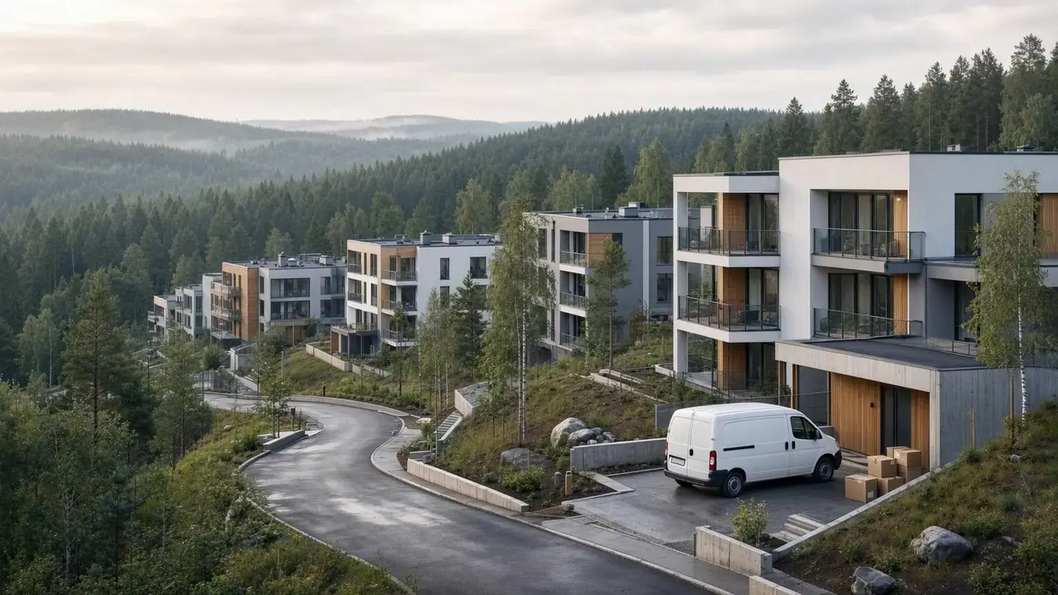
According to the District Governorate, Çekmeköy became a district in 2008; the villages of Reşadiye, Hüseyinli, Sırapınar and Koçullu joined the original 17 neighbourhoods in 2010, giving 21 across 148.08 km². There is no coastline: most of the area is the Alemdağ forest and the Ömerli basin, and housing clusters mainly in the south. Needs split in two: freeing space in small flats in the dense neighbourhoods, and holding bulky items from garden houses at the forest edge.
Tagged building levels cover 8 percent of buildings in Nişantepe and 2 percent or less in the other 20 neighbourhoods, so we give no district-wide building height. Residents write that Çamlık is almost entirely gated complexes and that villa complexes are multiplying in Reşadiye and Ömerli; these are resident observations, not official data.
Istanbul Metropolitan Municipality's zoning-note amendment lists 18 entries including Alemdağ, Aydınlar, Ömerli and the four former villages; Çamlık, Hamidiye, Mehmet Akif, Merkez and Mimar Sinan are absent, and the page does not say why. The municipality publishes forms for tenant and business relocation aid and evacuation support; we could not read the conditions. For people waiting on a new flat after a demolition decision, a room keeps belongings out of boxes for months.
From your door to the depot
The depot is in Abdurrahmangazi, Sancaktepe; Çekmeköy is also on the Anatolian side, so there is no Bosphorus crossing. A car-profile estimate from OSRM / OpenStreetMap (September 2026) puts addresses about 5–21 km away: Aydınlar 5.1 km and 7 minutes, the district centre 12.2 km and 10 minutes, Sırapınar 21.2 km and 23 minutes, all without traffic. A loaded vehicle and traffic can change this, and we promise no time. Items are collected from your door and brought back when you want them.
Apart from Çamlık the street table is forgiving: the share of one-way or narrow streets is 79 percent in Çamlık, 10 percent in Mimar Sinan and 9 percent or less elsewhere. Slope separates neighbourhoods: mean grade runs from 2.6 percent (Sırapınar) to 7.6 percent (Reşadiye), with 12–48 percent of streets steep. The map shows 29 parking areas in Merkez and 15 in Ömerli, and none in 10 of the 21 neighbourhoods. Figures are approximate; the free survey shows your street.
Vehicle access in six neighbourhoods, Aydınlar to Şirapınar
Figures are computed from OpenStreetMap and the Copernicus elevation model and are approximate. We picked the six neighbourhoods whose numbers differ most.
Aydınlar Mahallesi
The closest address to the depot: 5.1 km and 7 minutes without traffic. 1,108 buildings on 0.65 km²; no one-way or narrow streets, 30 percent of streets steep. The municipality's investment list says part of Yeşilyurt Sokak was closed to vehicles as a 75 m play street, so the vehicle waits at the street's end.
Çamlık Mahallesi
79 percent of its 8.4 km of local streets are one-way or narrow; no other neighbourhood exceeds 10 percent. Mean grade 4.6 percent, 943 buildings, no parking area mapped. Residents write that it is made up of gated complexes; loading follows the management's rules.
Merkez Mahallesi
The district's largest network: 45.5 km of local streets and 1,736 buildings; mean grade 7.2 percent, 48 percent of streets steep. With 29 parking areas it has the most mapped parking. The challenge is how close a vehicle can get on slopes.
Nişantepe Mahallesi
Mean grade 6.6 percent, 46 percent of streets steep. Only 180 buildings are mapped; 8 percent carry level data, averaging 13.8 storeys, so the data is thin but points to tall blocks. Confirm the goods lift in advance if items come from one.
Reşadiye Mahallesi
A former village: only 52 buildings across 19.4 km². Mean grade of 7.6 percent is the district's highest, 48 percent of streets are steep; no one-way or narrow streets. One parking area is mapped. The road is long and hilly, so book early.
Sırapınar Mahallesi
The farthest point from the depot: 21.2 km and 23 minutes without traffic. Mean grade of 2.6 percent is the district's flattest, and only 12 percent of streets are steep. 44 buildings mapped, no parking area; we check the stopping spot on site.
Street and parking data by neighbourhood
| Neighbourhood | Narrow / one-way streets (%) | Steep streets (%) | Mapped parking | Average floors |
|---|---|---|---|---|
| Alemdağ | 3 | 35 | 0 | — |
| Aydınlar | 0 | 30 | 1 | — |
| Cumhuriyet | 3 | 43 | 0 | — |
| Çamlık | 79 | 26 | 0 | — |
| Çatalmeşe | 0 | 35 | 0 | — |
| Ekşioğlu | 2 | 19 | 2 | — |
| Güngören | 8 | 23 | 2 | — |
| Hamidiye | 1 | 32 | 2 | — |
| Hüseyinli | 0 | 24 | 0 | — |
| Kirazlıdere | 2 | 34 | 0 | — |
| Koçullu | 0 | 16 | 0 | — |
| Mehmet Akif | 5 | 27 | 0 | — |
| Merkez | 6 | 48 | 29 | — |
| Mimar Sinan | 10 | 30 | 9 | — |
| Nişantepe | 9 | 46 | 4 | 13.8 |
| Ömerli | 0 | 30 | 15 | — |
| Reşadiye | 0 | 48 | 1 | — |
| Sırapınar | 0 | 12 | 0 | — |
| Soğukpınar | 2 | 28 | 0 | — |
| Sultançiftliği | 0 | 43 | 6 | — |
| Taşdelen | 0 | 35 | 1 | — |
Source: OpenStreetMap contributors (ODbL), Copernicus DEM; September 2026. Floors show “—” where few buildings carry floor data; gradients are indicative.
From complex gates to Ömerli's gardens: notes for Çekmeköy
1.Garden furniture can change the room size you need
Rooms are 8 m³ for a 1+0, 15 m³ for a 1+1, 22 m³ for a 2+1 and 28 m³ for a 3+1. A flat usually fits the room of the same name; garden furniture can shift that, and we measure at the survey.
2.Ask about the gate early
In complex-heavy areas like Çamlık, learn the goods-lift slot and vehicle entry rule beforehand and mark the stopping spot at the survey.
3.On slopes, discuss vehicle distance
In Merkez, Nişantepe and Reşadiye 46–48 percent of streets are steep. If the vehicle cannot reach the door, some boxes are carried by hand and heavy pieces get a separate trip.
4.Wrap garden furniture dry
Wipe garden sets from Ömerli or the former villages and let them dry fully before wrapping; that lowers the risk of mould and odour in the room.
5.Write down the evacuation timeline
If you are leaving a building slated for demolition, the new flat's handover date may stay uncertain; discuss the room's start date and which items you need early at the survey. You can visit your room any day without an appointment.
Room sizes and monthly prices
| Home size | Room volume | Monthly rent |
|---|---|---|
| Fits a 1+0 home | 8 m³ | ₺4,000 |
| Fits a 1+1 home | 15 m³ | ₺7,000 |
| Fits a 2+1 home | 22 m³ | ₺8,000 |
| Fits a 3+1 home | 28 m³ | ₺9,000 |
See the full price table and what decides the price
Storage by situation
Between homes, renovation, seasonal items or an office: open the page that matches your situation.
Questions about storage in Çekmeköy
Most streets in Çamlık are one-way; can a vehicle still come?
Yes, with planning. 79 percent of Çamlık's local streets are one-way or narrow. We settle where the vehicle parks and the goods lift with the complex management at the survey.
Can you collect from village neighbourhoods like Ömerli or Koçullu?
We collect from the door anywhere in Istanbul. These areas are far from the depot; Sırapınar is 21.2 km and 23 minutes without traffic. Few buildings are mapped, so we check the street and turning room on site.
My address says Madenler or Parseller; is that Çekmeköy?
Neither is among Çekmeköy's 21 official neighbourhoods: both Madenler and Parseller are official neighbourhoods of Ümraniye. However, residents also use the name Madenler for the stop area opposite the Çekmeköy metro where three districts meet. Give us the street and building name and we will check your neighbourhood together.
Does storage make sense during an urban-transformation evacuation?
Usually yes: the new flat's handover can slip. We could not read the conditions of the municipality's relocation-aid forms, so confirm your application with its Urban Transformation Directorate; we plan the room's start date at the survey.
Free survey in Çekmeköy
Let us look at your belongings and your street together and settle the right room size during the survey.
Message us on WhatsAppNeighbouring districts
Sources
- Çekmeköy District Governorate, Çekmeköy Geography, accessed 29.09.2026
- Çekmeköy District Governorate, Çekmeköy History, accessed 29.09.2026
- Çekmeköy Municipality, Urban Transformation Directorate, accessed 29.09.2026
- Çekmeköy Municipality, Investment Projects, accessed 29.09.2026
- Istanbul Metropolitan Municipality Urban Transformation, Çekmeköy zoning-note amendment, accessed 29.09.2026
- Street, parking and building data: OpenStreetMap contributors (ODbL); slope: Copernicus DEM GLO-30, 2026-09-29
- Distance and time: OSRM / OpenStreetMap, September 2026 (car profile)